LAND REGISTRY COMPLIANT PLANS
HM Land Registry is a government organisation responsible for the recording of property ownership in England and Wales. The ownership of each property is defined by a title registry and title plan with each part identified by a land registry title number.
Every time a house is sold or purchased a new title register is created, which in turn replaces the original details with information about the new owners and mortgagees, the date of purchase and cost price, as well as any easements or covenant.
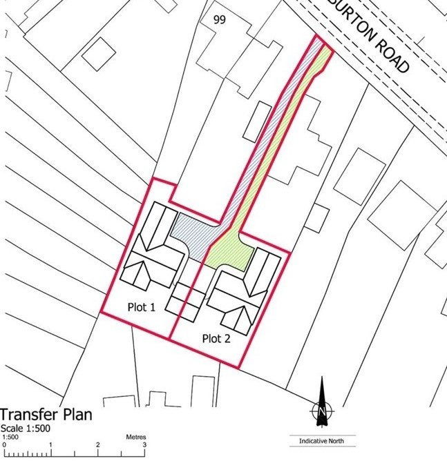
A Land Registry compliant plan will be:
- Based on Ordnance Survey information.
- Accurately drawn to a scale of 1:500 or 1:1250 (sometimes 1:2500 in rural areas).
- Confirm the correct orientation by the presence of a north point.
- Show a clear red line around the ownership.
- Show all buildings whether they are within the site or the surrounding land in the correct position.
- Illustrate any shared ownership parts and rights of way, which could be vehicular or pedestrian.
- Confirm the site address.
- State a company Ordnance Survey license number.